
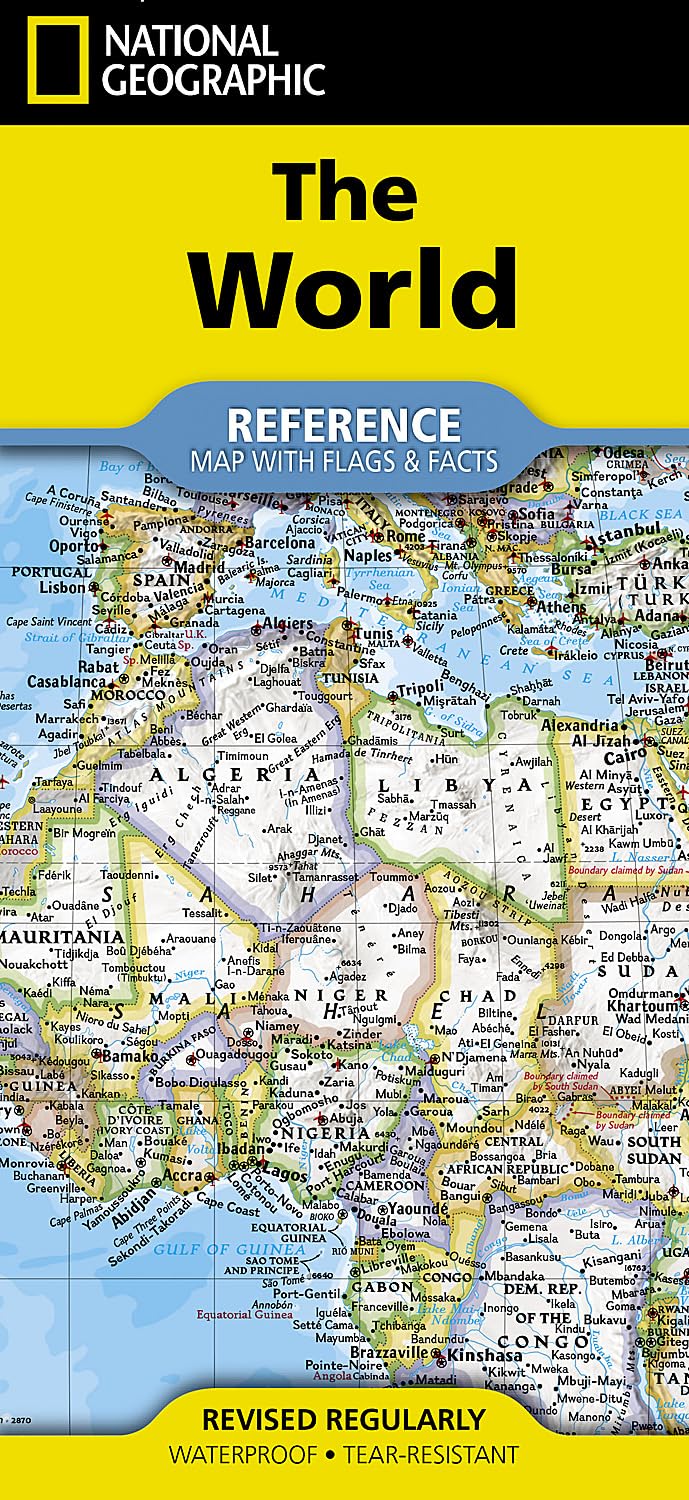
National Geographic World Map (folded with flags and facts) (National Geographic Reference Map)
Produktdetails
| Artikelnummer | 236887959 | Erscheinungsdatum | 2026/07/10 | Listenpreis | €4.88 | Modellnummer | 236887959 | ||
|---|---|---|---|---|---|---|---|---|---|
| Kategorie | |||||||||
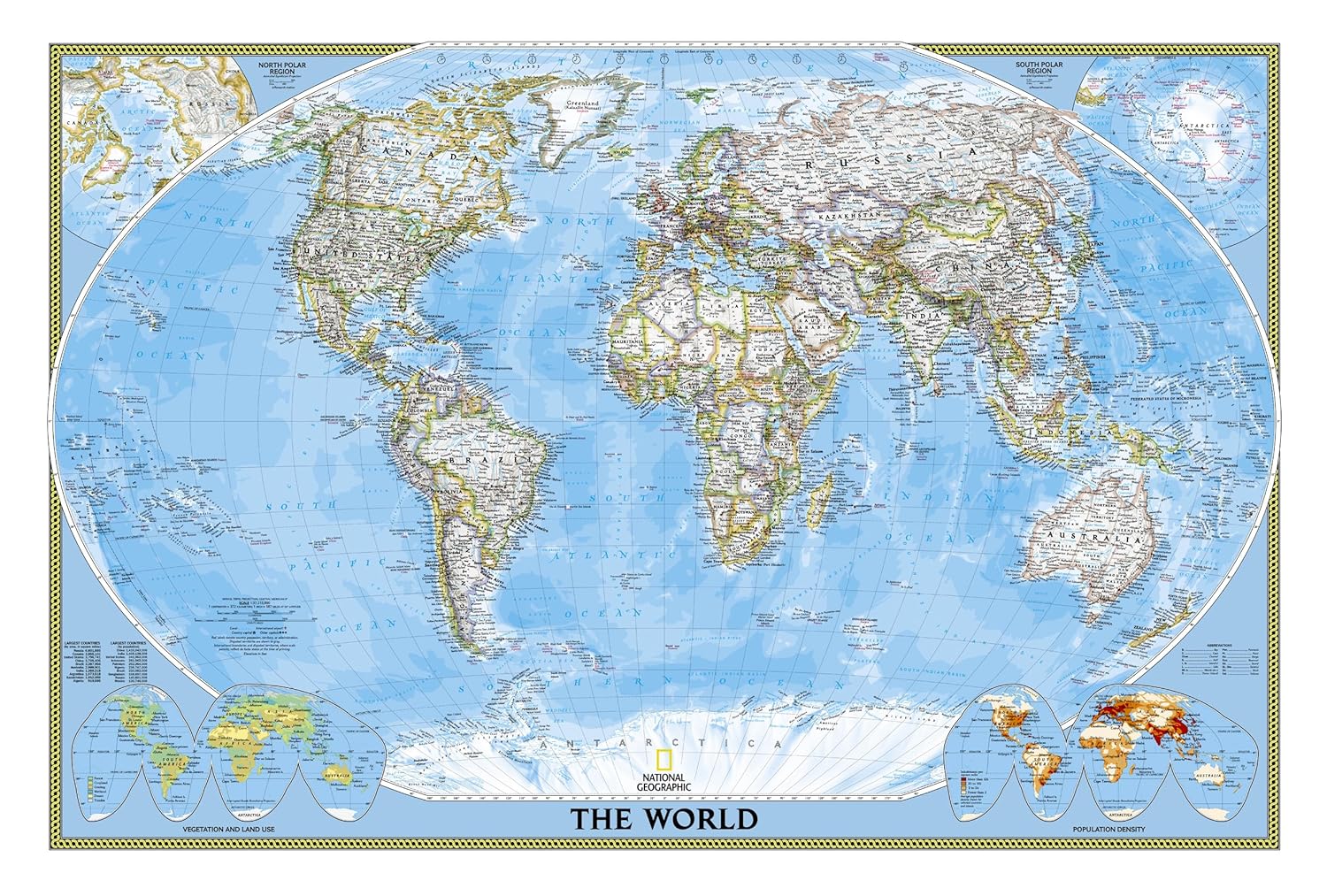
Expertly researched and designed, National Geographic's World with Flags & Facts Map is the authoritative map of the world by which other reference maps are measured. The folded world map is designed for travel and durability.Product Features:Signature Classic style map with bright, easy to read color palette with blue oceans and colorful bordersBackground shows mountain ranges and valleys in subtle shaded relief with mountain ranges labeled Major water bodies including rivers, lakes, glaciers, oceans, seas, gulfs, bays, straits, and bathymetryClearly defined international boundaries, cities, islands, airports, and physical featuresThousands of place names carefully and artfully placed to maintain legibility in heavily populated areasUp-to-date international boundaries and territorial control reflect de facto status on the groundMeticulously researched using multiple authoritative sources including the U.N., U.S. Board on Geographic Names, and policies of individual governments.Accurate place names use a combination of conventional English names, official national names, and standard transliterations for non-Latin alphabets. Drawn in Winkel Tripel projection with distortions minimized unlike other World maps (e.g. Greenland is shown the same size as Argentina, not South America)Corner inset maps feature vegetation, land use, population density, and north and south polar regionsNational facts and flags with each country's area, population, capital city, GDP per capita, and flagThe map is printed in the USA on durable waterproof, tear-resistant synthetic paper to withstand repeated folding.Map Scale = 1:37,213,000Sheet Size = 37.75" x 25.5"Folded Size = 4.25" x 9.25" Read more
| ISBN10 | 1566958083 |
|---|---|
| ISBN13 | 978-1566958080 |
| Edition | 2025th |
| Language | English |
| Publisher | National Geographic Maps |
| Dimensions | 4.1 x 0.3 x 9 inches |
| Item Weight | 3.25 ounces |
| Print length | 2 pages |
| Publication date | March 13, 2025 |


Korrektur der Produktinformationen
Wenn Sie Unvollständigkeiten oder Fehler in den Produktinformationen auf dieser Seite bemerken, nutzen Sie bitte das Korrekturformular unten.
Korrekturanfrage